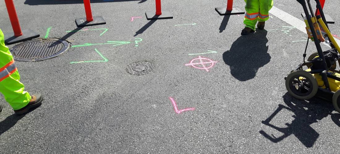
The Process of Underground Utility Locating: How It’s Done for Safe Digging
Excavation involves digging and drilling the ground to install new pipelines, cables, and other infrastructure. But before any digging can begin, it is essential to
Home » Private Utility

Excavation involves digging and drilling the ground to install new pipelines, cables, and other infrastructure. But before any digging can begin, it is essential to
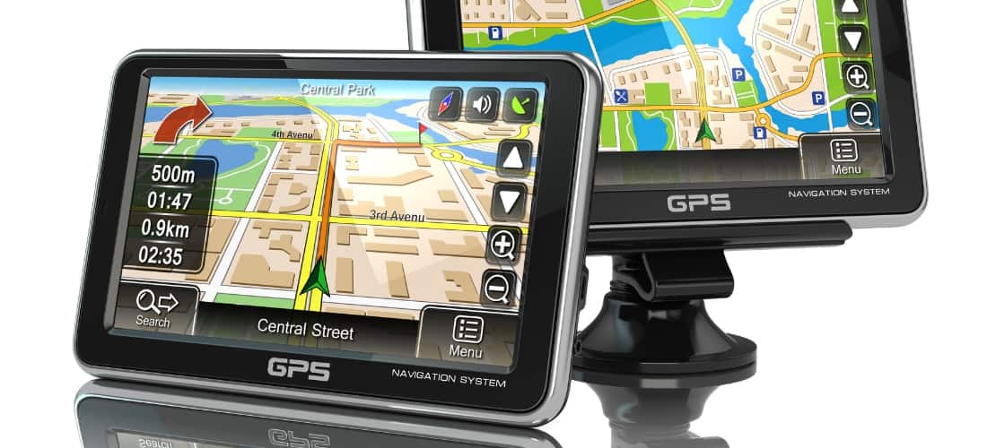
In today’s world, technology has revolutionized various fields, and utility mapping is no exception. The traditional methods of locating underground utilities were time-consuming and costly,
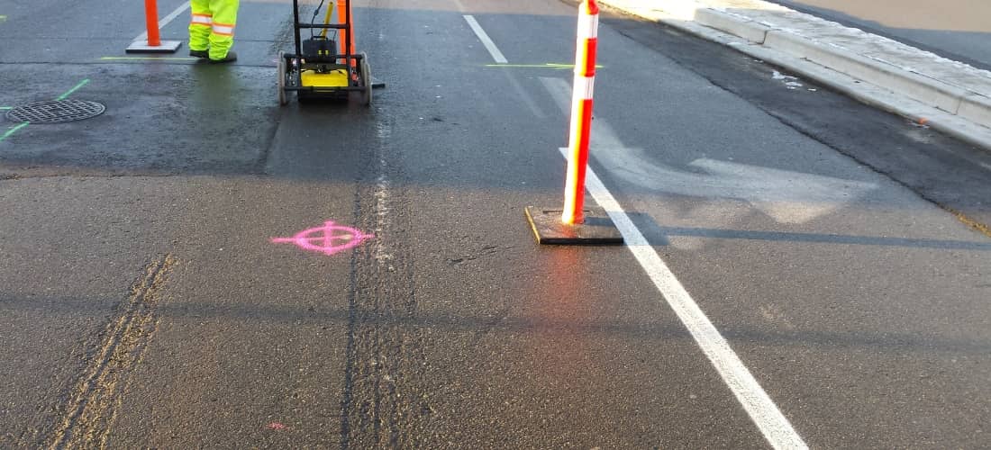
Construction projects are complex, and navigating them can be a daunting task. One of the most significant challenges contractors, engineers, and project managers face is
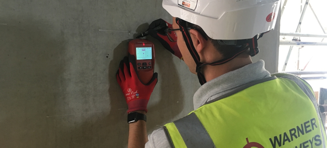
As construction projects become more complex and time-sensitive, it’s essential to have accurate and efficient methods for locating rebar and other hidden objects within concrete
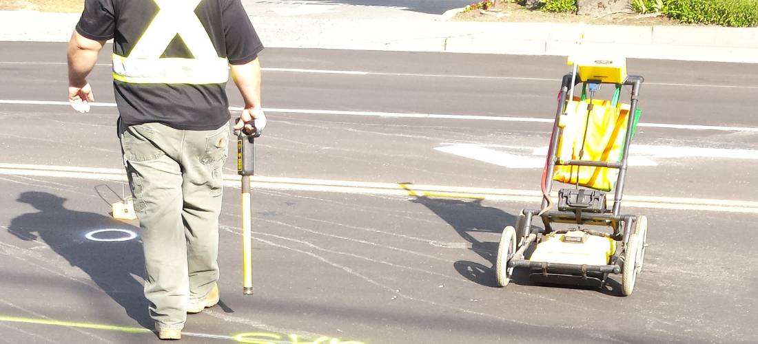
Underground utility locators are professionals who play a crucial role in construction and engineering projects. Their main responsibility is accurately locating and marking underground utilities
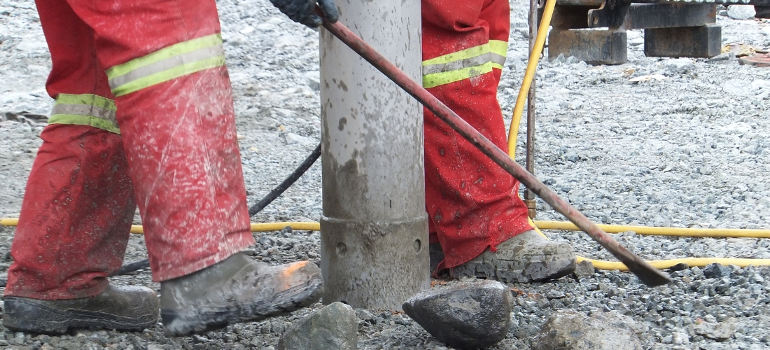
Construction projects can be complex and require a high level of expertise. One of the critical steps involved in such projects is locating underground utilities.

Google Earth has become an indispensable tool for industries, allowing users to explore and navigate the world with just a few clicks. One such industry

On The Mark Locators, LLC is a leading underground utility locating equipment provider. With years of experience in the industry, we understand the importance of
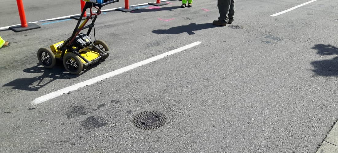
In an era where environmental consciousness is paramount, every step we take toward preserving our planet’s health matters. At On the Mark Locaters, we recognize