

Home » Utility Mapping & CAD Deliverables
Utility Mapping & CAD Deliverables
Accurate Subsurface Data You Can Design, Build, and Manage With Confidence
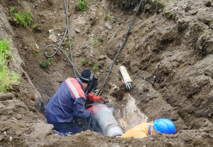
On The Mark Locators provides professional Utility Mapping & CAD Deliverables that transform verified subsurface data into clear, actionable documentation for design, construction, and long-term asset management. Our mapping solutions support engineers, utilities, and owners across MD, PA, DE, NJ, DC, and VA, helping reduce risk and improve decision-making on complex infrastructure projects.


Who Our Utility Mapping Services Are For
Our Utility Mapping & CAD Deliverables are designed for:
Engineers & Design Consultants
Utility Owners & Operators
Facility Owners & Developers
Municipal & Government Agencies
Construction & Program Managers
Whether you’re planning, designing, constructing, or maintaining infrastructure, On The Mark Locators delivers mapping you can rely on.
From Field Markings to Survey-Grade Mapping
We convert field utility markings into survey-grade mapping, bridging the gap between detection and design.
Field designations coordinated with survey teams
Accurate horizontal and vertical positioning
Reduced design conflicts and construction change orders
This workflow is especially valuable for Water & Wastewater Utilities, Higher Education campuses, and Industrial & Manufacturing projects across MD, PA, DE, NJ, DC, and VA.

Why Choose On The Mark Locators?
This workflow is especially valuable for Water & Wastewater Utilities, Higher Education campuses, and Industrial & Manufacturing projects across MD, PA, DE, NJ, DC, and VA.
CAD Deliverables Include:
AutoCAD-compatible files
Standardized layers, line types, and symbology
Utility attributes such as size, material, and depth (when available)
These base maps support:
Design development and coordination
Permit and RFP submissions
Capital improvement planning

© All rights reserved 2021 | On The Mark Locators