Maximizing Efficiency with GPS Utility Mapping
GPS utility mapping is a powerful tool that can greatly enhance the efficiency and accuracy of utility management. By using GPS technology to map out underground utilities, organizations can streamline their operations, reduce costs, and improve overall safety. In this blog post, we will explore the basics of GPS utility mapping, the advantages of implementing […]
Exploring GPS Utility Mapping: A Comprehensive Guide
GPS utility mapping is a technology that has revolutionized the way we plan, design, and manage infrastructure projects. By utilizing GPS technology, engineers and planners can accurately map the location of underground utilities such as water lines, gas pipelines, and electrical cables. This comprehensive guide will explore the basics of GPS utility mapping, its key […]
Benefits of Using GPS for Utility Mapping
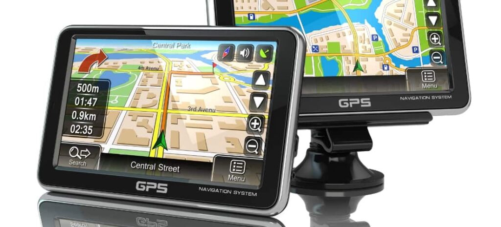
In today’s world, technology has revolutionized various fields, and utility mapping is no exception. The traditional methods of locating underground utilities were time-consuming and costly, leading to inaccuracies and safety concerns. However, the use of GPS, or Global Positioning System, has proved to be a game-changer in the field of utility mapping. GPS technology has […]
5 Ways GPS Utility Mapping is an Easy Use
Have you ever found yourself in an unfamiliar city without your phone? If you’re like me, it’s happened more than once. Sure, Google Maps has saved my hide more than once, but if you use GPS utility mapping software, you don’t need to worry about access to the internet or cellular service ever again! Here […]