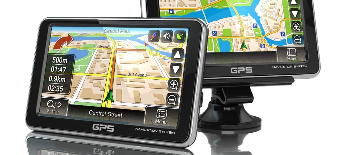
In today’s world, technology has revolutionized various fields, and utility mapping is no exception. The traditional methods of locating underground utilities were time-consuming and costly, leading to inaccuracies and safety concerns. However, the use of GPS, or Global Positioning System, has proved to be a game-changer in the field of utility mapping.
GPS technology has revolutionized utility mapping by providing unprecedented accuracy in locating underground and above-ground utilities. Traditional methods often relied on outdated maps or physical markers, which could lead to inaccuracies and costly mistakes. GPS mapping, however, offers precise coordinates for utility locations, reducing the margin of error to mere centimeters. This accuracy is crucial for planning construction projects, avoiding utility damage, and ensuring the safety of workers and the public.
One of the most significant advantages of GPS for utility mapping is data collection and management efficiency. GPS devices can quickly gather data on utility locations, types, and conditions and seamlessly integrate this information into Geographic Information Systems (GIS). This integration allows for creating detailed, interactive maps that can be easily updated and shared across departments and organizations. By streamlining data collection and management, GPS technology saves time and resources, enabling more informed decision-making and planning.
GPS in utility mapping significantly enhances safety measures by accurately identifying the location of utilities before any digging or construction begins. This precise mapping helps prevent accidents such as gas line ruptures or electrical outages, which can have severe consequences for workers and the surrounding community. Moreover, GPS mapping identifies potentially hazardous areas, enabling planners to devise safer routes or take necessary precautions to mitigate risks.
Accurate utility mapping with GPS technology leads to substantial cost savings and reduced downtime. Pinpointing the exact location of utilities minimizes the risk of accidental damages during excavation, which can be expensive to repair and cause significant service disruptions. Furthermore, the efficiency of GPS mapping reduces the time needed to locate utilities, allowing projects to proceed more quickly and reducing labor costs. The cumulative effect of these savings is a more cost-effective and efficient project execution.
GPS utility mapping plays a pivotal role in the planning and development of urban and rural areas. With detailed and accurate maps, planners and engineers can design infrastructure projects that accommodate existing utilities, reducing the need for costly relocations or adjustments. This foresight helps optimize land use, ensure sustainable development, and minimize environmental impact—additionally, the ability to visualize utility networks about proposed developments aids in better decision-making and project outcomes.
Maintaining an up-to-date utility infrastructure is crucial for ensuring reliability and efficiency. GPS mapping facilitates this by making it easier to locate utilities for inspections, maintenance, and upgrades. The detailed information provided by GPS maps allows utility companies to prioritize maintenance activities based on their assets’ actual conditions and locations. This proactive approach can help prevent failures, extend the lifespan of utility components, and ensure consistent service delivery to customers.
Finally, using GPS for utility mapping enhances customer service and response times. In the event of a utility failure, GPS maps enable quick identification of the problem’s location, allowing for faster dispatch of repair crews. This efficiency in responding to issues improves service reliability and boosts customer satisfaction by minimizing inconveniences and service interruptions.


